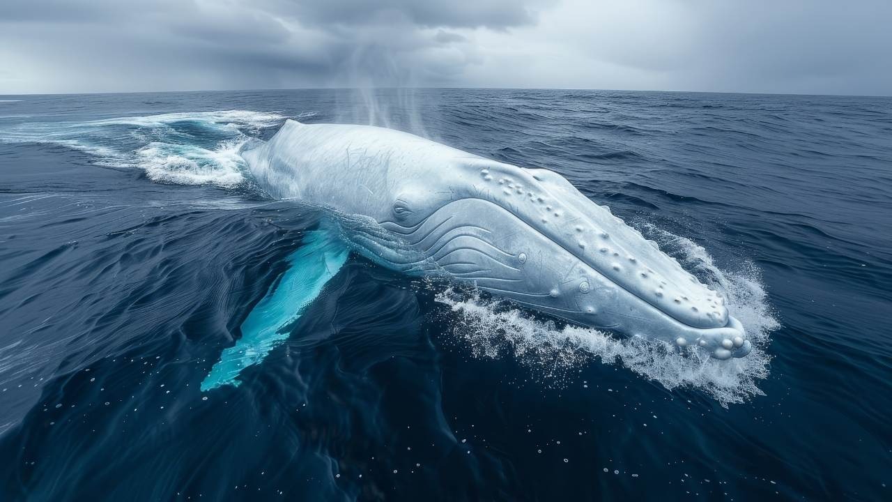
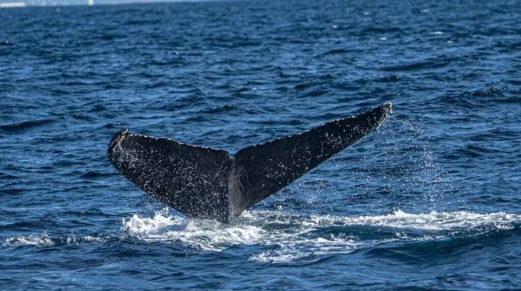
Right whales are among the most endangered large whale species, known for their incredible seasonal migrations across vast ocean distances. Each year, these majestic creatures travel thousands of miles between cold, nutrient-rich feeding grounds in northern waters and warm, sheltered breeding areas in the south.
Table of Contents
Their migration patterns are driven by the need to find food, mate, and give birth in safe environments. Right whales play a vital role in marine ecosystems, yet face serious threats from ship strikes, fishing gear entanglement, and climate change. Understanding their migration is essential for developing effective conservation strategies to protect these magnificent animals.
What Is Right Whale Migration?
Right whale migration is the seasonal journey these critically endangered marine mammals undertake between northern feeding grounds and southern calving waters along the Atlantic coast of North America. These whales spend their spring and summer months in waters off New England and farther north into Canadian waters to feed and mate, then travel south in the fall, sometimes covering more than 1,000 miles, to reach calving grounds off the coast of the Carolinas through northeastern Florida. Coastal Review
With the most recent population estimate sitting at approximately 380 individuals NOAA Fisheries, understanding and protecting this migratory corridor is vital to the survival of one of the planet’s most imperiled large whale species.
Why Do Right Whales Migrate?
Right whales migrate for two primary reasons: reproduction and food availability.
Calving in warm waters: Each winter, pregnant females travel from their feeding grounds in New England and Canada to the warmer, calmer waters of the Southeast, where they give birth to calves that already measure around 14 feet at birth. Environment America These sheltered coastal zones provide safer conditions for nursing newborns before the long trek back north.
Feeding in nutrient rich northern seas: The cold, productive waters of the Gulf of Maine, Bay of Fundy, and Gulf of St. Lawrence offer dense concentrations of tiny crustaceans called copepods, particularly the species Calanus finmarchicus. Since 2015, right whales have also been making a notable return to the Gulf of St. Lawrence, a shift that appears linked to changes in the distribution of their prey. Baleines en direct
The Right Whale Migration Route: A Step by Step Breakdown
Here is how the annual migration cycle typically unfolds:
Fall (October to December): Whales begin departing their northern feeding areas. They travel south along the Mid Atlantic coast, hugging relatively shallow continental shelf waters.
Winter (December to March): From November through April, during calving season, right whales and their young can be spotted together in the waters off the Southeastern coast of the United States. New England Aquarium Mothers nurse their calves in these protected nearshore areas off Georgia, Florida, and South Carolina.
Spring (March to May): Mothers and calves, along with other whales, begin the northward journey. In the spring they start slowly moving north to their feeding and mating grounds in the Gulf of Maine and eastern Canadian Atlantic. Wwfwhales
Summer (June to October): Whales feed intensively in northern waters, building the energy reserves needed for the next migration and, for pregnant females, for sustaining a growing calf.
The 2025 to 2026 Calving Season: A Hopeful Sign
The latest calving season has brought encouraging news for researchers and conservationists. So far during the 2025 to 2026 season, 23 new mother and calf pairs have been sighted New England Aquarium, a strong number for a population this small.
Several notable developments stood out this year:
Scientists identified some first time mothers entering the breeding pool, and they also noted that some females are calving at shorter intervals Mongabay, both positive indicators of reproductive health.
The population experienced a 2.1 percent increase from 2023 to 2024 estimates Popular Science, marking the third consecutive year of modest growth. The North Atlantic Right Whale Consortium estimate for 2024 stands at 384 individuals, up from a recalculated 376 in 2023. New England Aquarium
North Atlantic Right Whale Consortium Chair Heather Pettis noted that the slight population increase, combined with no detected mortalities and fewer injuries than in recent years, leaves researchers cautiously optimistic. Coastal Review
Major Threats to Right Whale Migration
Despite the recent positive trend, right whales face serious dangers along every stretch of their migratory path.
Vessel Strikes
Endangered North Atlantic right whales are at heightened risk for vessel strikes because they spend a significant amount of time at or near the water surface. NOAA Fisheries Busy shipping lanes along the Eastern Seaboard overlap directly with migration corridors.
NOAA Fisheries visualized this risk using the migratory path of a one year old right whale satellite tagged off the Virginia and North Carolina coast in March 2021, showing the whale traveling north through heavy vessel traffic and busy port entrances. NOAA Fisheries
Entanglement in Fishing Gear
More than 80 percent of right whales have been entangled at least once in their lifetime. Wwfwhales Vertical lines used in lobster and crab fishing pose the greatest risk. Even non fatal entanglements cause chronic stress, reduced body condition, and lower reproductive success.
Climate Change and Shifting Prey
Warming ocean temperatures are redistributing copepod populations, forcing whales into unfamiliar areas that may lack existing protections. The return of right whales to the Gulf of St. Lawrence appears linked to changes in the distribution of Calanus finmarchicus, which is now more abundant in those waters. Baleines en direct This shift has placed whales in new collision and entanglement hotspots.
Underwater Noise Pollution
Increased shipping traffic, seismic surveys, and offshore construction create a wall of noise that interferes with whale communication. For a species that relies on acoustic signals to find mates across vast ocean distances, rising noise levels can disrupt breeding and social behavior.
How Conservation Efforts Protect Right Whale Migration
Governments, scientists, and maritime industries have implemented a multilayered approach to safeguard these whales along their migratory route.
Seasonal Management Areas (SMAs)
NOAA Fisheries opens Seasonal Management Areas in the Mid Atlantic each year, requiring all vessels 65 feet or longer to travel at 10 knots or less to reduce the threat of vessel collisions. BIMCO These speed zones are active from November through April, aligning with the peak migration and calving period.
Dynamic Management Areas and Slow Zones
NOAA Fisheries establishes Dynamic Management Areas based on visual sightings of three or more right whales within a discrete area, and Right Whale Slow Zones are triggered by both visual and acoustic detections. NOAA Fisheries These real time protections can be activated quickly when whales appear in unexpected locations.
Fishing Gear Modifications
Canadian and American regulators have introduced measures including seasonal fishing closures, weak link requirements in trap lines, and ongoing development of ropeless fishing technology. These changes aim to reduce the number of vertical lines in the water column during peak whale migration periods.
Acoustic Monitoring and Technology
Ocean buoys equipped with hydrophones, autonomous underwater gliders, and the free Whale Alert app allow mariners to receive real time notifications when right whales are detected nearby. Boaters from Maine to Florida can sign up for email or text notifications about the latest Right Whale Slow Zones through NOAA. NOAA Fisheries
What Can You Do to Help Right Whales During Migration?
Individual actions add up. Here are practical steps anyone can take:
- Slow down on the water. If you operate a boat along the Atlantic coast between November and May, reduce your speed to 10 knots or less in designated zones.
- Download the Whale Alert app. Stay informed about active slow zones and recent whale sightings in your area.
- Report sightings. If you spot a right whale, report it to NOAA at 1 866 755 6622 or through the Whale Alert app.
- Support sustainable seafood. Choose seafood from fisheries that use whale safe gear and practices.
- Advocate for stronger protections. Contact your elected officials to support full funding for NOAA Fisheries and robust enforcement of the Marine Mammal Protection Act.
Conclusion
The Right whale is one of the most remarkable and perilous journeys undertaken by any marine species. These whales travel over a thousand miles each year between rich northern feeding grounds and warm southern calving waters, navigating a gauntlet of ship traffic, fishing gear, and rapidly changing ocean conditions. The population has shown signs of increasing for three consecutive years NOAA Fisheries, offering genuine hope. But with fewer than 80 actively reproducing females remaining Popular Science, every single whale matters.
Protecting the migratory corridor of the North Atlantic right whale is not just a conservation priority; it is a measure of whether we can coexist with one of the ocean’s most vulnerable inhabitants. Stay informed, spread the word, and take whatever action you can to help these extraordinary animals survive.
Where do right whales migrate?
North Atlantic right whales migrate along the eastern coast of North America. They travel from summer feeding grounds in the Gulf of Maine and Canadian Atlantic waters southward to calving grounds off the coasts of Georgia, South Carolina, and northeastern Florida. The round trip covers well over 1,000 miles.
When is right whale calving season?
Calving season generally runs from November through April. Pregnant females arrive in the warm, shallow waters of the Southeast United States during this window to give birth and nurse their calves before heading north again in spring.
How many North Atlantic right whales are left?
The most recent estimate from the North Atlantic Right Whale Consortium puts the 2024 population at approximately 384 individuals. New England Aquarium This represents a modest but encouraging increase from prior years.
Why are right whales so endangered?
Right whales face a combination of lethal threats including vessel strikes, entanglement in commercial fishing gear, and the effects of climate change on their food supply. Their slow swimming speed, tendency to feed near the surface, and use of busy coastal waters make them especially vulnerable.
What is being done to protect right whales during migration?
NOAA Fisheries enforces seasonal vessel speed restrictions, establishes dynamic protection zones when whales are detected, and works with the fishing industry to reduce entanglement risk. Acoustic monitoring buoys and apps like Whale Alert help mariners avoid whales in real time.
How does climate change affect right whale migration?
Rising ocean temperatures are shifting the distribution of copepods, the tiny crustaceans right whales depend on. This forces whales into new areas, such as the Gulf of St. Lawrence, where existing protections may be insufficient, increasing their exposure to ship strikes and fishing gear entanglement.