Untouched places on Earth continue to defy our assumptions about modern exploration. In a world saturated with satellite imagery and GPS tracking, it seems impossible that vast regions remain completely unknown to humankind. Yet the reality is striking enormous stretches of ocean floor, towering mountain summits, dense rainforests, and subterranean cave networks have never felt a human footprint.
Table of Contents
This article draws from verified scientific data, government research agencies, and documented expedition records to map out the planet’s final frontiers. Whether you are a geography enthusiast, an adventure traveler, or someone fascinated by Earth’s remaining mysteries, this guide covers every major category of unexplored terrain on the planet today.
Why Are There Still Unexplored Regions on Our Planet?
Earth’s inaccessible wilderness areas persist for several interconnected reasons. Physical barriers like crushing deep-sea pressure, sub-zero polar temperatures, and razor-edged geological formations create natural fortresses. Political and cultural protections add another layer some governments have deliberately sealed off territories to preserve indigenous heritage or fragile ecosystems.
Understanding these barriers is essential for anyone researching remote destinations, forbidden territories, or off-limits natural wonders.
| Barrier Category | Specific Challenge | Affected Locations |
| Oceanic pressure | Exceeds 8 tons per square inch at extreme depths | Mariana Trench, deep Atlantic faults |
| Extreme cold | Sustained temperatures below −50°C | Sakha Republic, Antarctic interior |
| Government prohibition | Full climbing or access bans | Gangkhar Puensum, North Sentinel Island |
| Impassable terrain | Razor-sharp rock, volcanic formations | Tsingy de Bemaraha, Kamchatka Peninsula |
| Geographic isolation | Hundreds of miles from nearest settlement | Namib Desert interior, Papua New Guinea highlands |
| Subterranean complexity | Underground rivers, collapsed ceilings, unknown depths | Son Doong Cave, Yucatán cenote networks |
The World’s Most Remote Untouched Places No One Has Visited
Each location below represents a distinct category of inaccessible terrain. Together, they paint a complete picture of where human exploration reaches its absolute limits.
1. The Deep Ocean Floor Earth’s Largest Unexplored Frontier
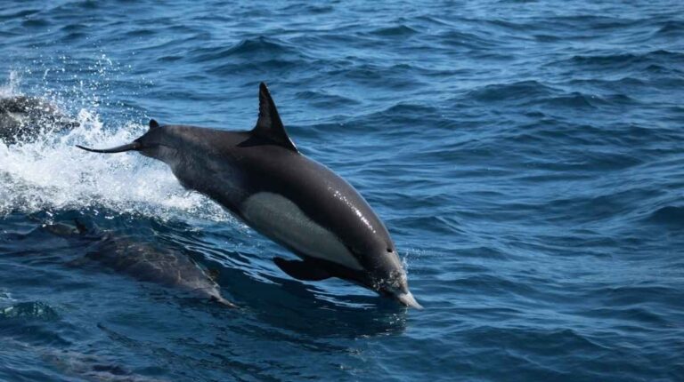
The seafloor remains the single biggest unmapped area on the planet. According to NOAA’s Ocean & Coasts division, over 80% of Earth’s ocean is unmapped, unobserved, and unexplored. A 2025 Frontiers in Marine Science study calculated that only 28.5% of the global seafloor had been mapped by direct measurements as of 2024.
The Mariana Trench in the western Pacific exemplifies this challenge. Stretching roughly 1,500 miles with depths exceeding 36,000 feet, the pressure at its lowest point Challenger Deep would crush virtually any human-made structure. Only three crewed missions have ever reached the bottom, leaving the overwhelming majority of the trench completely unseen.
The international Nippon Foundation-GEBCO Seabed 2030 Project is working to produce a complete ocean floor map by 2030. However, at current mapping rates of roughly 1.5 to 2 percentage points annually, as noted in the 2024 NOMEC Implementation Plan, that goal remains extremely ambitious.
2. Gangkhar Puensum The Tallest Unclimbed Mountain on Earth
Rising 7,570 meters along the Bhutan-Tibet border, Gangkhar Puensum holds the distinction of being the highest peak in the world that no climber has ever summited. Four separate mountaineering teams attempted the ascent between 1985 and 1986, and every single expedition failed due to brutal weather and treacherous terrain.
In 1994, Bhutan restricted climbing above 6,000 meters out of respect for the spiritual beliefs of local communities. By 2003, the government enacted a total ban on mountaineering across the entire country. This sacred, unconquered peak stands as proof that some places remain untouched not because they cannot be reached, but because they are deliberately protected.
3. Son Doong Cave The Planet’s Largest Subterranean World
Located within Phong Nha-Kẻ Bàng National Park in central Vietnam, Son Doong holds the record as the largest natural cave on Earth by volume. According to the British Cave Research Association, the cave stretches nearly 9 kilometers in length, reaches over 200 meters in height, and spans up to 150 meters in width. Its measured volume stands at 38.5 million cubic meters.
A local forager named Hồ Khanh first stumbled upon the cave entrance in 1990, but it was not formally surveyed until a British expedition team mapped it in 2009. As reported by Oxalis Adventure, only 7,552 visitors explored the cave between 2014 and 2024, with annual permits capped at just 1,000 people. Significant portions of the cave system, including deep passages beyond the underground river, remain entirely unsurveyed.
4. Tsingy de Bemaraha Madagascar’s Impenetrable Stone Forest
Recognized as a UNESCO World Heritage Site, this national park in northwestern Madagascar features towering limestone pinnacles some reaching 70 meters with edges sharp enough to slice through equipment and clothing. The entire northern zone of the stone forest has never been entered by any human expedition.
Researchers believe these formations conceal hidden canyons, undiscovered cave systems, and unique animal species that have evolved in total isolation. The terrain is so hostile that the word “tsingy” itself translates roughly to “where one cannot walk barefoot.”
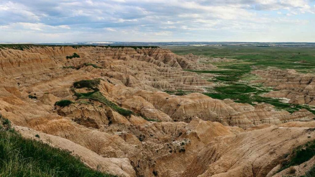
5. Sakha Republic Siberia’s Frozen, Empty Wilderness
Covering an area nearly equivalent to India, the Sakha Republic in Russia’s Far East is home to fewer than one million people. Winter temperatures routinely plunge below −50°C, and enormous stretches of taiga forest, permafrost tundra, and mountain ranges have never been surveyed on foot.
The indigenous Sakha people have survived in the region’s more hospitable pockets for centuries, relying on reindeer herding and heavy fur garments. But the vast interior remains one of the most sparsely populated and least explored landmasses on Earth.
6. Kamchatka Peninsula Volcanic Belt Russia’s Ring of Fire
The Kamchatka Peninsula hosts 160 volcanoes, 29 of which remain active today. The highest, Klyuchevskaya Sopka, towers at 15,584 feet. Millennia of eruptions have shaped the surrounding landscape into rugged, unstable terrain that resists any form of sustained human presence or ground-level exploration.
7. Namib Desert The Oldest Desert on the Planet
Stretching over 1,200 miles along the Atlantic coasts of Angola, Namibia, and South Africa, the Namib is widely regarded as the world’s oldest desert. According to National Geographic, certain interior sections receive as little as 2 millimeters of rainfall annually. The Skeleton Coast, littered with shipwrecks from centuries past, serves as a haunting reminder of how lethal the region can be.
8. North Sentinel Island The Most Isolated Human Community
Located in the Bay of Bengal, North Sentinel Island is home to one of the last uncontacted tribes on Earth. The Indian government strictly prohibits all visits to protect the Sentinelese people, whose hostile response to outsiders is well documented. Previous contact attempts resulted in disease outbreaks among the community.
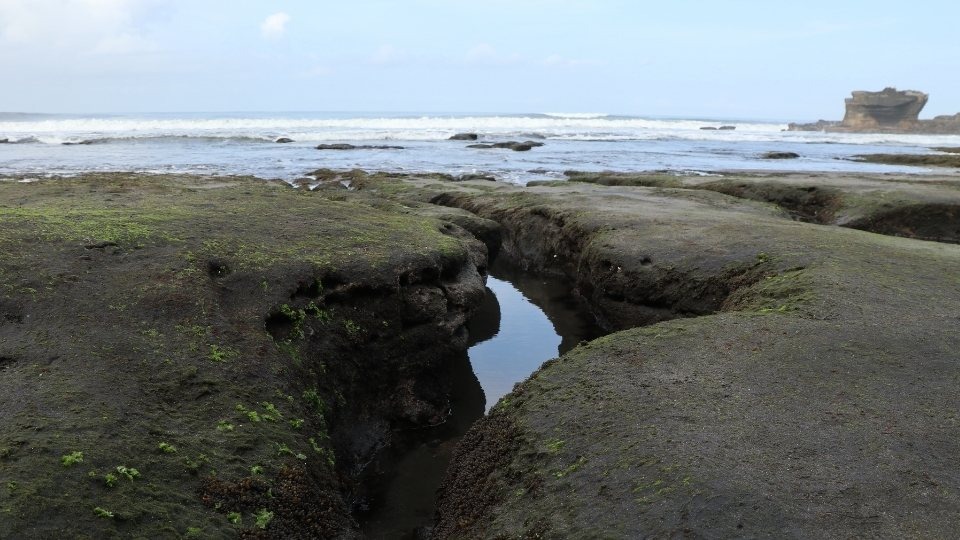
9. Yucatán Cenotes and Underground Cave Networks
The Yucatán Peninsula in southern Mexico is riddled with natural sinkholes called cenotes, formed when surface limestone collapses to reveal underground pools and rivers. Aerial scans of sites like the ancient Mayan city of Mayapan have revealed hundreds of previously unknown cenotes, many connected to vast cave systems that remain completely unmapped.
10. Papua New Guinea Highlands Uncharted Peaks and Unnamed Languages
The Star Mountains of Papua New Guinea receive over 10 meters of annual rainfall more than triple the Amazon. Peaks exceed 4,700 meters, and a 1959 scouting helicopter crash during an early expedition illustrates the extreme danger of the terrain. No permanent weather station has ever been successfully established in the range. The surrounding region also hosts remarkable linguistic diversity, with more than 800 recorded languages.
How Modern Technology Is Changing Exploration
Robotic submersibles, autonomous drones, LiDAR scanning, and satellite-based sonar are gradually expanding our knowledge of these hidden places. The NOAA Office of Coast Survey’s 2025 report confirmed that unmapped U.S. waters decreased from 48% to 46% during 2024 alone, thanks to collaborative mapping campaigns.
On land, LiDAR technology is revealing structures and landscapes hidden beneath dense canopy cover. Still, physical human access to most of these regions remains decades or centuries away.
| Technology | Primary Use | Limitation |
| Sonar mapping | Ocean floor bathymetry | Only 5 km resolution without direct survey |
| LiDAR scanning | Terrain under forest canopy | Cannot penetrate deep rock or water |
| Robotic submersibles | Deep-sea exploration | Limited battery life and range |
| Satellite imagery | Surface-level mapping | Cannot see underground or underwater detail |
| Autonomous drones | Volcanic and desert surveys | Range limited by weather and battery |
The Ecological and Scientific Value of Preserving Unexplored Land
These untouched ecosystems are not simply blank spaces on a map. They function as critical biodiversity reserves, climate data archives, and evolutionary laboratories.
Son Doong Cave hosts its own self-contained ecosystem, complete with underground rainforests, unique cloud formations, and animal species found nowhere else. The Tsingy stone forests shelter white lemurs and bird species that evolved in complete isolation. Permafrost in the Sakha Republic contains frozen organic material that provides invaluable data for understanding historical climate patterns.
Preserving these pristine natural environments benefits both current scientific research and future generations of explorers and researchers.
Conclusion
From the lightless depths of the Mariana Trench to the sacred, snow-covered summit of Gangkhar Puensum, Earth still guards enormous territories that no human has ever entered. These untouched places on Earth serve as powerful reminders that our planet remains far more mysterious and wild than most people realize.
The drive to explore them must be balanced with the responsibility to protect them. Many of these regions owe their survival precisely to their inaccessibility and some are best left undisturbed.
If this guide expanded your understanding of places humans have never been, share it with fellow adventurers and geography enthusiasts. Drop a comment below with the one untouched destination that fascinates you most and let us know if you think these places should ever be opened to human exploration.
What are the most untouched places on Earth in 2025?
The leading candidates include the deep ocean floor (over 70% unmapped globally), Gangkhar Puensum in Bhutan, Son Doong Cave in Vietnam, the Tsingy de Bemaraha stone forests in Madagascar, and vast interior sections of the Sakha Republic in Siberia. Each remains largely or entirely unexplored due to extreme conditions or legal restrictions.
How much of the ocean is still unexplored?
NOAA states that more than 80% of the global ocean remains unmapped, unobserved, and unexplored. A 2025 peer-reviewed study in Frontiers in Marine Science placed direct measurement coverage at approximately 28.5% of the total seafloor as of 2024. Full mapping is unlikely before 2040 at current rates.
Why is Gangkhar Puensum still unclimbed?
The Bhutanese government banned all mountaineering above 6,000 meters in 1994 and prohibited climbing entirely in 2003. Local communities consider the mountain sacred, and the government has honored those beliefs by making the peak permanently off-limits to expeditions.
Can tourists visit Son Doong Cave?
Yes, but access is extremely limited. Oxalis Adventure, the sole licensed operator, caps annual permits at 1,000 visitors. The six-day expedition costs approximately $3,100 per person. Large sections of the cave beyond the main passage remain closed to all visitors and have not yet been surveyed by researchers.
What is the most isolated island where humans are banned?
North Sentinel Island in India’s Andaman archipelago is the most restricted inhabited island on Earth. The Indian government enforces a strict exclusion zone around the island to protect the Sentinelese people, who have had virtually no contact with the outside world and respond with hostility to any approach.
Are there unexplored areas in Antarctica?
Significant portions of the Antarctic interior, particularly beneath the ice sheet, have never been directly observed or accessed by humans. Subglacial lakes, mountain ranges, and potential ecosystems exist beneath kilometers of ice. Satellite and radar surveys have revealed their presence, but direct exploration remains technologically out of reach for most of these sites.